Page 1 of 1
3d Scan Track
Posted: Fri Sep 15, 2017 8:24 am
by Kenny154
If i have a track in blender is there a way or how do i get a heaight map for the track?
Would love some help with the whole track side of things!
Dont wanna post any pictures of it yet cause i want it to be a surprise.
Re: 3d Scan Track
Posted: Fri Sep 15, 2017 8:29 am
by Kenny154
I take no credit for this track btw i found this track and thought it would be fun to have in the game!
They said commerical use is allowed!
3D model of a motocross track located in Trbovlje, Slovenija.
Model was made with Agisoft PhotoScan from 414 photos taken with our smallest drone - QTOx4.
Re: 3d Scan Track
Posted: Fri Sep 15, 2017 8:35 am
by Aaron Hall
Pretty sure Benji has that exact track in game
Re: 3d Scan Track
Posted: Fri Sep 15, 2017 9:00 am
by Kenny154
Aaron Hall wrote:Pretty sure Benji has that exact track in game
Really? Has it been released?
Re: 3d Scan Track
Posted: Fri Sep 15, 2017 9:15 am
by Aaron Hall
Re: 3d Scan Track
Posted: Fri Sep 15, 2017 9:40 am
by Kenny154
That looks awesome! Maybe we will be lucky and might see this post and be motivated to finish it or send to someone to do it

Track looks awesome thats why i thought would be cool to have in game
Re: 3d Scan Track
Posted: Fri Sep 15, 2017 4:20 pm
by Benjii_D
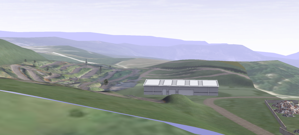
done little more work but I will most likely never finish it so if you want to try it here is an link. (it's not the most resent version)
http://www.mediafire.com/file/jz1w46nex ... nnedMX.rar
Re: 3d Scan Track
Posted: Sat Sep 16, 2017 2:55 am
by Kenny154
Damn thats looking Awesome going to try riding it now!
Re: 3d Scan Track
Posted: Mon Sep 18, 2017 2:13 pm
by Bubba40
Re: 3d Scan Track
Posted: Mon Sep 18, 2017 4:36 pm
by USABMXER1
This track is sick as fuck! Would love to have it in game.
Re: 3d Scan Track
Posted: Tue Sep 19, 2017 2:48 am
by ColtonD719
For anyone still wondering how to export a 3D model as a height map, here's a good method:
https://blenderartists.org/forum/showth ... ost2409874
In my experience, I've found it best to place the baking plane at the middle height of your terrain and set Distance and Bias to 0 in the Bake settings. So, if you're terrain ranges from -50 to 50 on the z-axis, the baking plane should be at 0. Or, if your terrain ranges from 0 to 100 on the z-axis, the baking plane should be at 50.