Looks really cool. Is that in some way altered or is it straight off of the drone scan?
Re: Drone scanned track
Posted: Sat Jun 23, 2018 7:45 am
by Craig
Did you ever release any of these tracks
Re: Drone scanned track
Posted: Sat Jun 23, 2018 9:50 am
by Sandhapper
Wahlamt wrote:Looks really cool. Is that in some way altered or is it straight off of the drone scan?
Every scan needs some sort of smoothing. One scan more than the other. I have a standard routine in blender and photoshop for the initial smoothing. As you can tell from the video, it is still quity bumpy. The scanned terrains always need to be edited. Not only because the scans are bumpy, but also because the scans scan trees, vans, trailers, banners, tents etc.
Another thing that's changed from the scan is that the version Hunter showed in his video looks like the rF scaled one. I also calculated the 1:1 demensions and made a track folder for that.
Craig wrote:Did you ever release any of these tracks
I am currently still working on WW ranch. Most of the other tracks have either been wrongly imported by me, are too bumpy, or no one is motivated to finish it.
Re: Drone scanned track
Posted: Mon Jun 25, 2018 1:24 am
by Bubba40
Craig wrote:Did you ever release any of these tracks
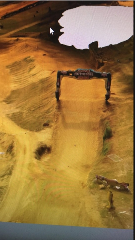
Straight from the scan except for some terrain smoothing. I also quickly got rid of the bridge, archs and a tree for the sake of the video.
Re: Drone scanned track
Posted: Sat Aug 18, 2018 1:33 am
by Craig
Looks really good, did high point ever get touched after hunters videos
Re: Drone scanned track
Posted: Sat Aug 18, 2018 1:36 am
by 137
Yeah I started doing it but Ruben found a better way to get the terrain so we may redo it
Re: Drone scanned track
Posted: Sat Aug 18, 2018 9:39 am
by JumPerr
Omg it looks so good !
Re: Drone scanned track
Posted: Mon Aug 20, 2018 5:12 am
by Bubba40
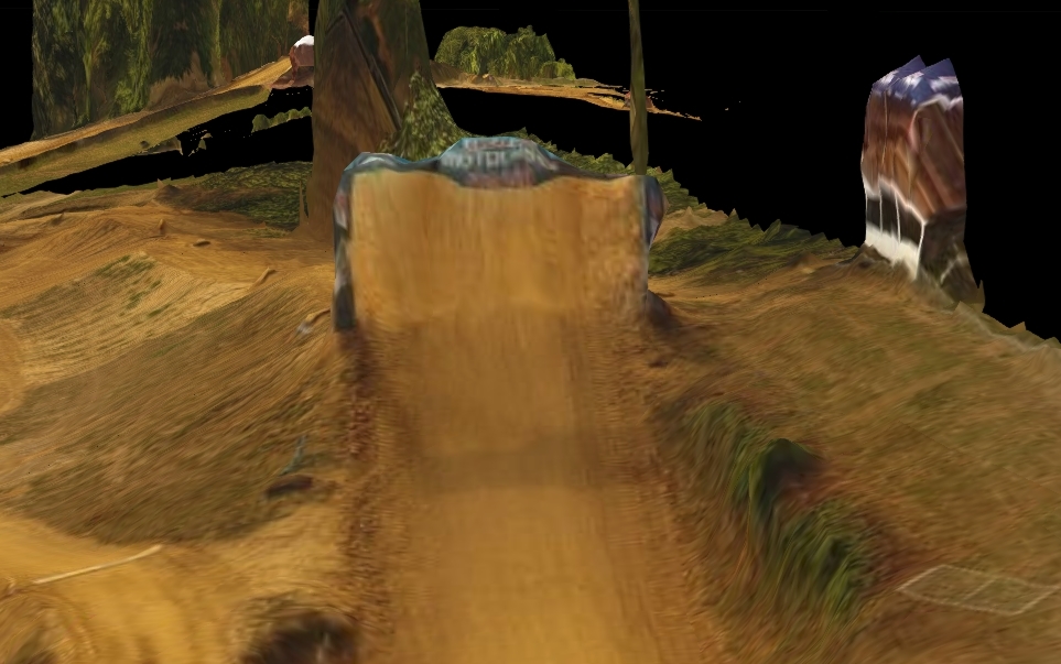
I've found way to get 2x the better scan for Budds Creek and Iron man 4x better then Ironman i can't wait for this weekend!
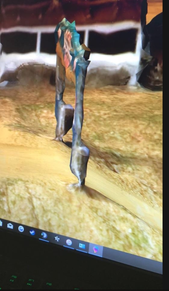
Not the best pic but i suck at blender but look at these photo of the other shitty app i was using.
Re: Drone scanned track
Posted: Mon Aug 20, 2018 6:20 am
by ColtonD719
So sick dude. What's the new app you are using? Have you had any trouble with people trying to stop you from flying your drone over the track?
Re: Drone scanned track
Posted: Mon Aug 20, 2018 6:50 am
by wilson213
That's amazing! Good work dude what app is that? I just got a drone and would love to do this
Re: Drone scanned track
Posted: Mon Aug 20, 2018 10:52 am
by Sandhapper
ColtonD719 wrote:Have you had any trouble with people trying to stop you from flying your drone over the track?