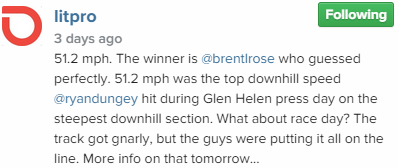
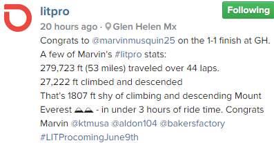
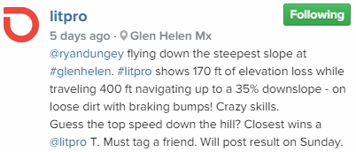
Anyone friends with the litpro guys? From what Ive been told they have a guy with a drone taking pics of the track and stitch an overlay together just like we would with google images. The difference being google doesn't have the actual race day layout. Not only that but with the GPS data we could have much closer heights and distances. Would be really cool to get our hands on all of this.
Im hoping this app isnt just for people that have purchased the product but for the fans too. Like if AMA ditches the current system and goes to this GPS based system. That could allow for us to watch a map kind of like we have in MXS and to view all the different types of data. Could be really cool.